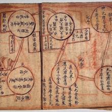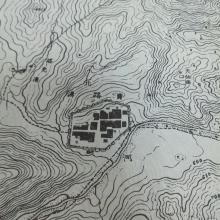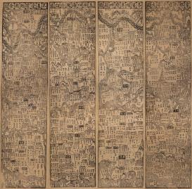
A map is a combination of graphic and text, and, by definition speaks two languages—the language of its toponyms and the language of its system cartographic representation. The “national affiliation” of a map is by default defined by the language of its toponyms and other textual elements, but the translatability of a “foreign” map to a considerable extent depends on understanding its cartographic language. We consider a map to be “fully translatable” if the system of cartographic representation applied in the map is common to its translator and the intended audience. This means that redrawing a map with all its cartometric properties and cartographic conventions and translating its toponyms makes it perfectly comprehensible, as has been the case since an internationally recognized standard in cartography was established by the late modern Western maps drawn according to a cartographic projection and scale.
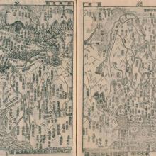
Currently the project focusses on East Asian maps that apply systems of cartographic representation different from that common to their potential translators for the modern Western audience. Special attention is paid to what stays untranslatable, including some entire maps, what can be adapted and how, what is supplemented to ensure comprehending a “foreign” map.
This study is part of a growing research trend seeking to elaborate formal methods of investigating maps, which rely on cartometric analysis and numerical modelling, as well as techniques of analysing the materiality of maps (support, printing techniques, colors etc.). One of the goals is to develop a reliable method to trace filiation of congener maps.
The three-year project (January 1, 2019–December 31, 2022) is hosted by Department III, benefitting from its highly qualified digital humanities team. Its Principal Investigator is Dagmar Schäfer (Director of the MPIWG Dept. III) and coordinator is Vera Dorofeeva-Lichtmann (CNRS, France). The project’s permanent participants are Yang Yulei 楊雨蕾 (Zhejiang University, P.R.C.), Lin Nung-Yao 林農堯 (Digital Humanities team of the MPIWG - Gugong Museum, Taiwan) and Yang Wei-Ting 楊偉婷, PhD candidate of the National Tsing-Hua University (Taiwan) and predoc at the MPIWG.