
Circulation of spatial concepts and geographical knowledge between and within cartographical traditions is one of the main issues in the history of cartography. The comparison of maps belonging to markedly different cartographic traditions and thus produced according to different theoretical foundations, technical principles and cartographic conventions remains a difficult task because these maps are often visually different, even though the intuitive perception of maps as “visually close” or “visually different” can be misleading. Under these circumstances it is indispensable to develop a formal approach to the study of relationship between maps (and, eventually, to the reconstruction of their filiation) based on the cartographic data that they contain and not only on the information concerning the history of their production which may be misleading or missing. This project study is to determine the ways of transmission of the Japanese Buddhist world maps and especially of the relationships of spatial concepts, geographical knowledge and cartographic frameworks between them.
The project is developing a new methodology inspired by modern methods of textual analysis. Textual analysis mentioned the important role was played by the concept of “directional variations”, that is, the modifications found in versions of a given text that may suggest what was the relationship between them (that is, whether version A was a “descendant” of version B, version B was a “descendant” of version A, or they both were “descendants” of one and the same “common ancestor” C). Inquiring into the equivalent of “direction variations” for the maps under investigation, the relationship between the maps is investigated, as is the ancestral redaction map, and the genealogy of the maps or their relational network.
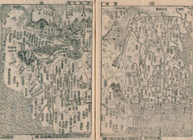
Nansenbushu No Zu 南瞻部洲之圖 is included in Kanchu Koen Kusharon Jusho 倶舍論頌疏講苑.
Source: National Diet Library Digital Collections.