This project focusses on two general maps of the late Qing Empire, Daqing tianxia zhonghua gesheng Fuzhou xianting dili quantu 大清天下中華各省府州縣廳地理全圖 (Complete map of the geography of all provinces, prefectures, districts, counties, and sub-prefectures in the central florescence of all under heaven of the great Qing) and Jindu xinzao zhonghua daguo gesheng jingjie fuzhou xianting wuhu sihai ji chibaidao bucha haoli diyu quantu 京都新造中華大國各省經界府州縣廳五湖四海及赤白道不差毫釐地輿全圖 (new capital edition of the complete comprehensive map of Great China with all the provinces, borderlines, prefectures, districts, counties, and sub-prefectures), in the MPIWG Map Collection. The two general maps belong to a very popular kind of Chinese general maps in the Qing Empire, which have not been paid close attention to. The project examines in depth the geographical knowledge of the two maps, analyzes their links, and inspects their origin and usage. The purpose is to explore the heritage and change of these traditional general maps at the inception of Western cartography in China, from which some traditional Chinese cultural concepts can be revealed.
Funded by DFG Cluster Project SPP 2130
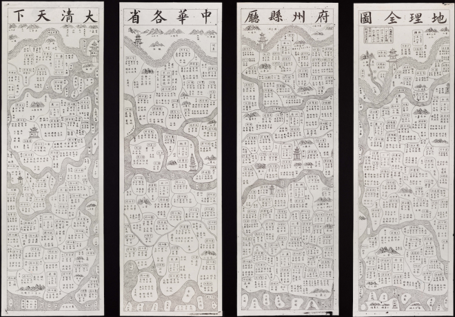
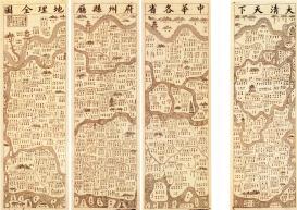
Daqing tianxia zhonghua gesheng Fuzhou xianting dili quantu 大清天下中華各省府州縣廳地理全圖 (a complete map of the geography of all provinces, prefectures, distracts, counties, and sub-prefectures in the central florescence of all under heaven of the great Qing), MPIWG.