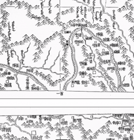
This project examines Qing scholars’ effort to integrate conventional Chinese cartographical practice and the Jesuit-style latitude-longitude coordinates, thereby reflecting the fluid and porous division between indigenous and Western knowledge.Scholars employed two ways to adapt latitude and longitude to Chinese geography and cartography. One was drawing latitude and longitude degrees directly from Jesuit maps, while the other involving mixing latitude-longitude coordinates with the indigenous method of indicating the distance by a network of square grids (Jili huafang) by replacing curved meridians with straight lines.
Examining the cases of Qi Zhaonan (1706–1768) and Xu Song (1781–1848), Xue Zhang explores how scholars drew latitude and longitude degrees into confidential imperial maps to enhance the prestige and authority of their works. Containing the latitude and longitude of various locations, their works Outline of Waterways (Shuidao tigang) and Waterways in the Western Regions (Xiyu shuidao ji) were deemed as the most authoritative geographical texts in their times.
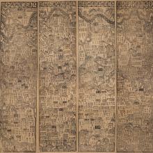
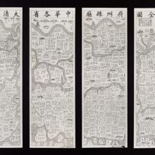
Moreover, Xue Zhang analyzes the integration of indigenous square grids into latitude-longitude coordinates and demonstrate how Chinese scholars “tamed” an alien technology. She begins with the Yongzheng Atlas (Yongzheng shipai tu) commissioned by the Yongzheng emperor in the 1720s. Its horizontal and vertical lines respectively represent latitudes and longitudes, but are straight. Li Zhaoluo’s (1767-1841) publication of Dong Youcheng’s (1791–1823) The Complete Map of the Empire (Huangchao yitong yudi quantu) in 1832 imitated the Kangxi and Qianlong Atlases with latitude-longitude coordinates, but adds extra straight meridians.