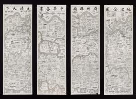
The MPIWG collection of East Asian maps includes two versions of a large general map of the Qing Empire (printed on four sheets, overall size ca. 90 x 120 cm), which seem to have been completely overlooked in studies of the history of the Chinese cartography. This map, despite its late provenance (presumably dating from the early twentieth century), belongs to what may be referred to as a “cosmographic” map, being shaped according to the traditional Chinese spatial concepts and containing many cosmologically significant landmarks. “Cosmographic” maps are still largely underestimated in scholarly literature on Chinese cartography of the Ming and Qing dynasties, which is mostly concerned with maps created under the influence of Western cartography. Yet, “cosmographic” maps continued to be produced and reproduced in late modern East Asia; the case of atlases with circular world maps relying on the Shanhaijing山海經 (compiled in the first century BC), which became extremely popular in Korea in the eighteenth to nineteenth centuries, provides an excellent example.
This project calls attention to the importance of “cosmographic” maps in late imperial China and aims to explore a particular, completely neglected type of them, as acquired by the MPIWG. Two similar, but not identical versions of the map allow one to pursue elaborated formal methods of map analysis, the clear articulation of which becomes more and more important in the current cartographical studies.
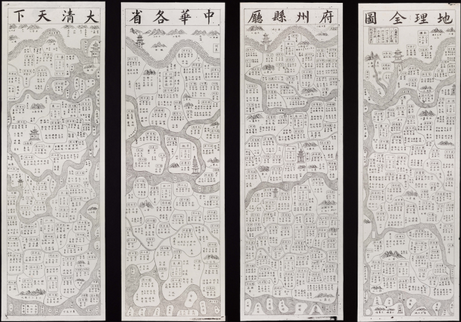
Da Qing Tianxiazhonghua ge sheng fu zhou xian ting dili quantu 大清天下中華各省府州縣廳地理全圖