Drawing on court records, memorials, and treatises in Chinese, Korean, and Manchu, this project examines how reliability was discussed and attempted during wartime in the area astride the Yalu River, a region of central importance in East Asia. Focusing on the rhetoric of reliability, it explores how officials in the Ming, Chosǒn, and Qing bureaucracies sought to mitigate uncertainty in assessing risks and costs in the border region. This approach differs from the existing scholarship on military logistics in Ming China and Chosǒn Korea, which has largely focused on the maintenance of frontier garrisons and the expansion of the courier system. This project traces the practices of organizing logistics and how officials evaluated and chose from the available transport methods such as boats, carts, pack animals, and human bearers. It also sheds light on the social and material construction of reliability beyond the laboratory and factory settings.
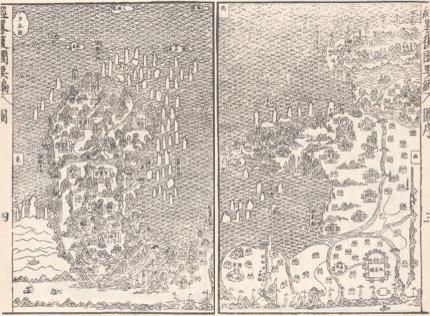
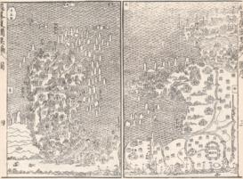
Late 16th century map of East China and the Korean peninsula, viewed from the north. Song Yingchang, Jinglüe fugue yaobian [Summary of the restitution of Korea by the Military Commissioner] (Taipei: Huawen shuju, 1968), 1:28-29.